Map Shop
Create a map
Create maps centred on a specified area
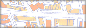
OSNI ACEmap provides the definitive location mapping for planning applications, property conveyancing and land registration in Northern Ireland. You can also create bespoke vector and raster maps from our product range, including OSNI Largescale mapping for use in computer applications.
Digital products
Mapping for computer applications
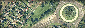
Digital products include raster and vector mapping as well as aerial imagery and historical mapping at various scales. Digital mapping can be used in GIS and CAD applications providing accurate attributed topography for a range of applications. It can also give cartographic context to your data.

Paper maps
Maps for leisure
Our range of paper maps is designed to cater for the different needs of tourists, motorists and outdoor enthusiasts. They cover Northern Ireland at various scales and include the regional Ireland North map, mid scale Discoverer and Activity maps and detailed street maps.