1:50,000 Scale Vector
Regional 1:50,000 Scale Vector
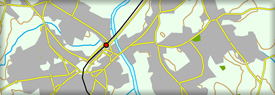
This Regional 1:50,000 Scale Vector dataset consists of seven main themes, which contain a range of layers: Text, Point, Polyline and Polygon. The layers contained within each theme are determined by the data type required to represent the relevant features, e.g., Relief only requires Polyline and Point layers as there is no requirement for polygons.