Create a map
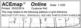
ACEmap plot
Create tailored large scale maps centred on an address or Irish Grid location. ACEmap is created directly from OSNI Largescale mapping and contains the most recent detail. Available as a pdf or paper output, at a variety of scales and paper sizes. ACEmaps can be used for conveyancing or as detailed site plans. When printing, please ensure that the print size is set to actual size to maintain scale accuracy. Please note paper plots are black and white.
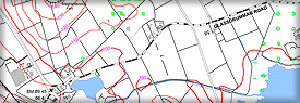
1:10,000 plot
Create a paper plot at 1:10,000 scale of the area you require. This product is generated from the OSNI Largescale mapping.

Large scale vector
Bespoke data creation from the most detailed and widely used OSNI digital mapping product. Currently available in dwg, dxf and gdb formats. Tab format is only available for off-the-shelf tiles.
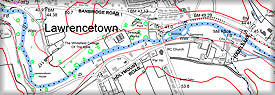
1:10,000 raster
Define the centre of the exact area you require to generate a 1:10,000 scale raster file of the area you require. This product is generated from the OSNI Largescale mapping.