Paper maps
Activity maps
Award winning series consisting of five 1:25,000 paper maps designed specifically for the outdoor leisure activities.
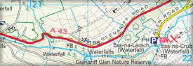
Discoverer series
Very popular series of 18 full colour paper maps covering all of Northern Ireland at a scale of 1:50,000. Townland maps for the area are included on the reverse of each sheet. Designed for tourist and leisure activities.
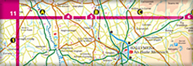
Ireland North
One of a series of four 1:250,000 scale maps covering the island of Ireland. Ireland North provides a detailed regional map ideal for touring or location.
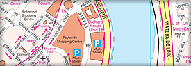
Road Atlas of Ireland
A detailed road atlas at 1:210,000 scale covering all of Ireland. Contains a distance chart and motoring information for both Northern Ireland and the Republic of Ireland.