OSNI Large Scale Mapping
OSNI Road centreline
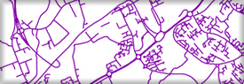
Attributed line geometry for all classified roads in Northern Ireland. Created at 1:1250 and 1:2500 scale and available in ESRI shapefile format.
Attributed line geometry for all classified roads in Northern Ireland. Created at 1:1250 and 1:2500 scale and available in ESRI shapefile format.
Ordnance Survey of Northern Ireland®, OSNI® and ACEmap® are registered trademarks of the Department of Finance