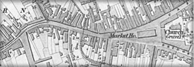
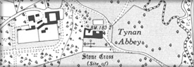
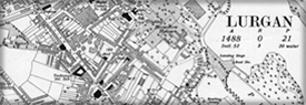
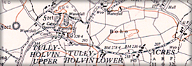
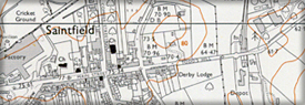
Six Inch to One Mile County Series
Six Inch to One Statute Mile Irish Grid
Ordnance Survey of Northern Ireland®, OSNI® and ACEmap® are registered trademarks of the Department of Finance